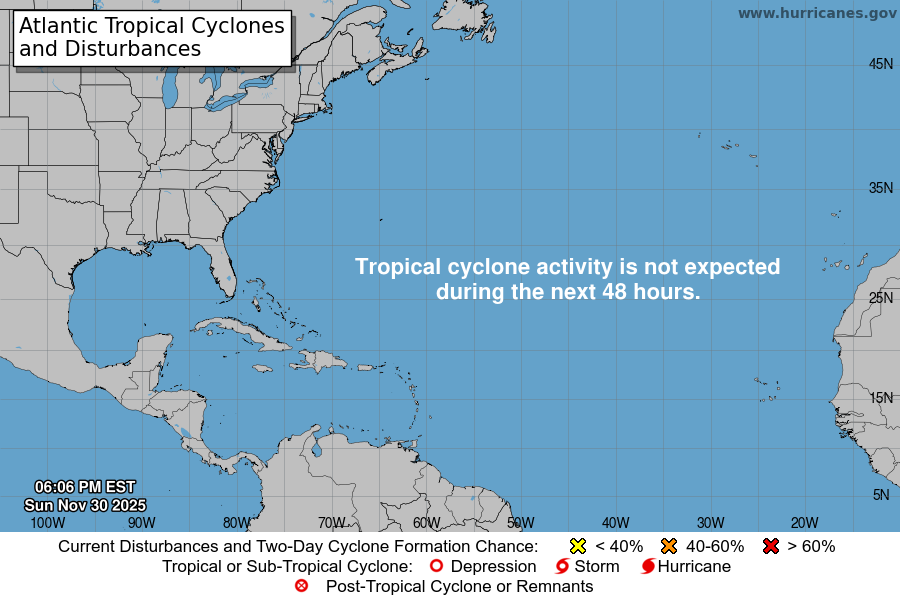
From the National Hurricane Center:
For the North Atlantic Caribbean Sea and the Gulf of Mexico:Central Tropical Atlantic:Shower and T-Storm activity associated with a tropical waveover the central tropical Atlantic continues to become betterorganized. Environmental conditions appear conducive for furtherdevelopment, and a tropical depression is likely to form during theearly to the middle part of this week. This system is forecast tomove westward at 15 to 20 mph over the tropical Atlantic, approachthe Windward Islands on Tuesday, and move across the southeasternCaribbean Sea on Wednesday and Thursday. Interests in the WindwardIslands should monitor the progress of this system.* Formation chance through 48 hours medium 40 percent.* Formation chance through 5 days high 70 percent.Northern Gulf of Mexico:An area of disorganized showers and T-Storms extending fromsoutheastern Louisiana across the northeastern Gulf of Mexico andthe southern part of the Florida peninsula is associated with atrough of low pressure. Development of this system is expected tobe slow to occur as it drifts westward across the northern Gulf ofMexico over the next few days.* Formation chance through 48 hours low near 0 percent.* Formation chance through 5 days low 20 percent.Forecaster Roberts
You must be logged in to post a comment.