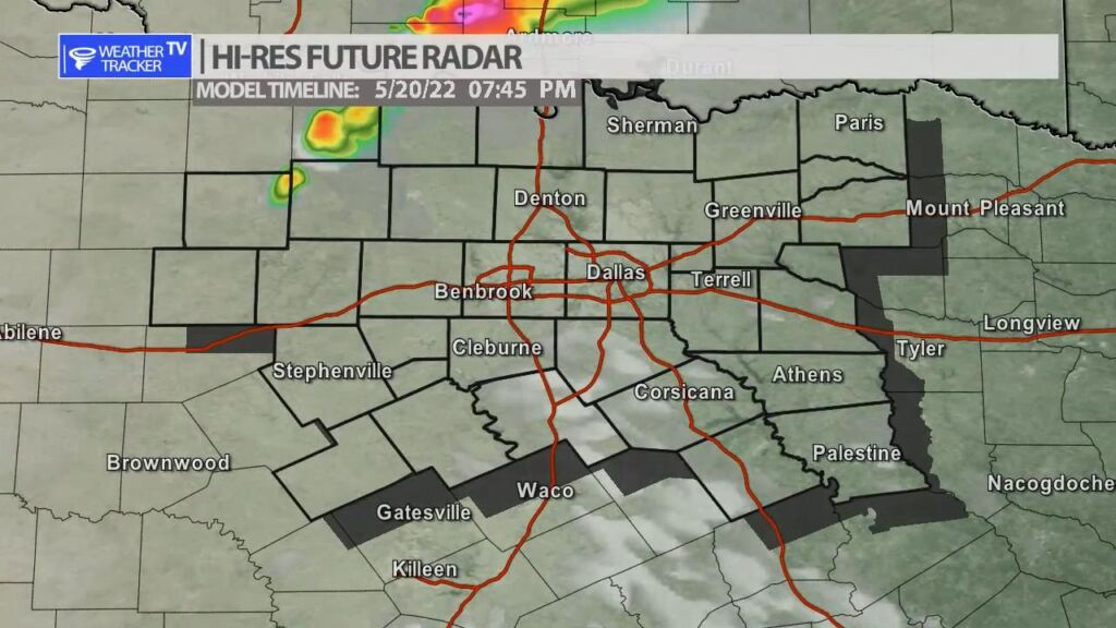
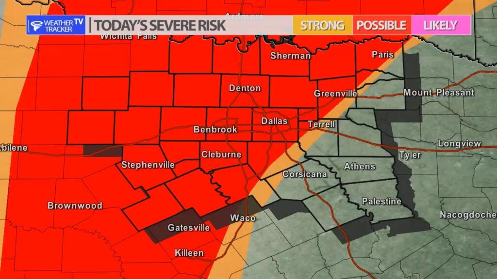
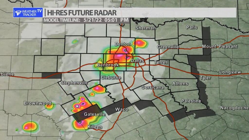
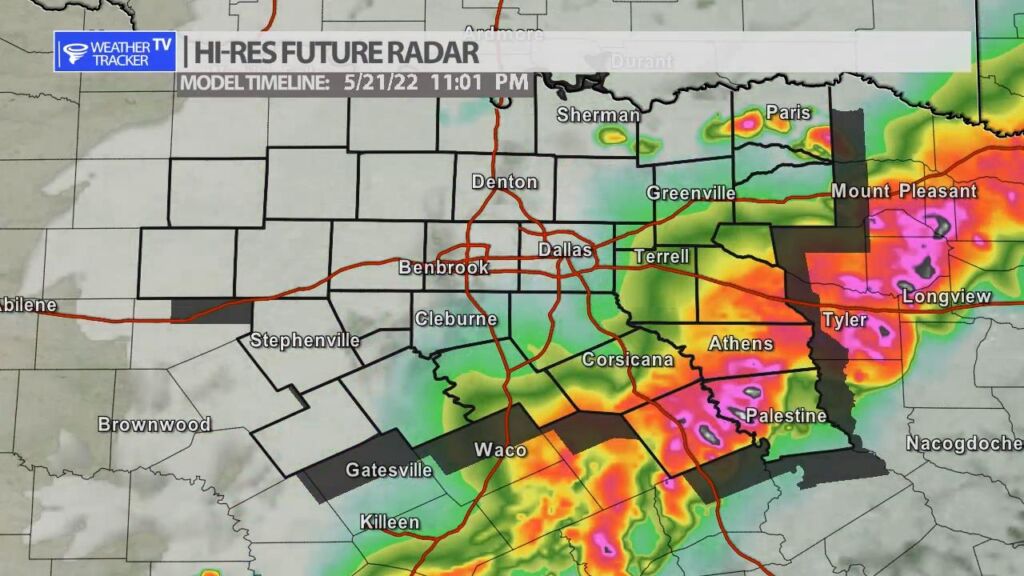
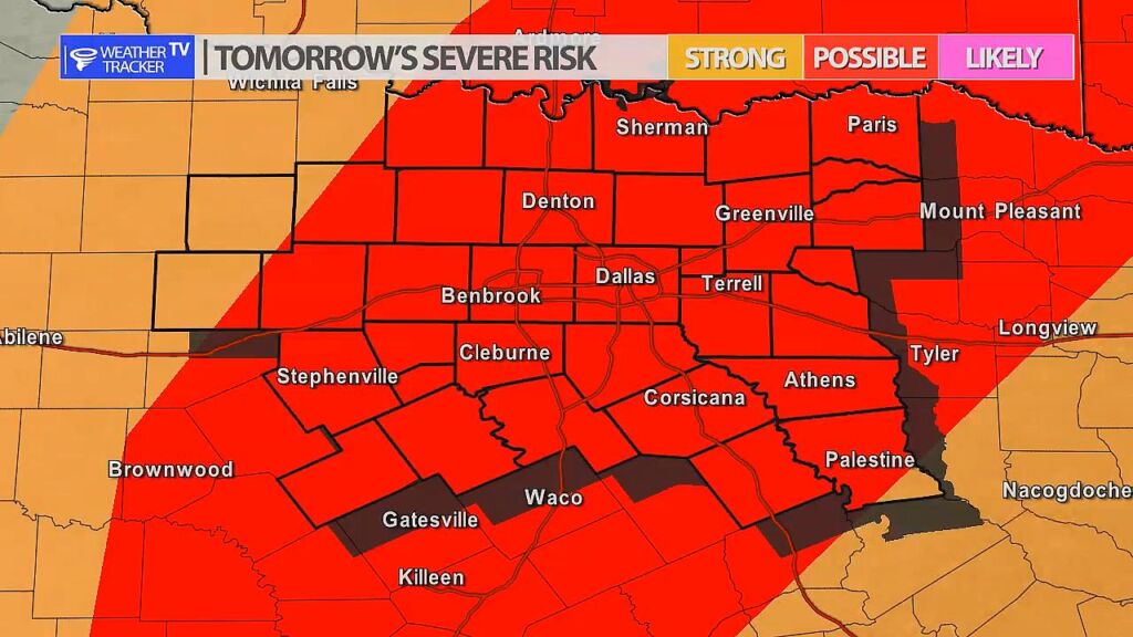
Two rounds of severe weather are possible in North Texas over the next 48 hours. Round one is today with a dryline setting up in our western counites. A piece of Jetstream energy will also be moving through the area. A few storms will try and form in our northwestern counites after 4 pm near the dryline – half dollar sized hail and winds to 65 mph would be the primary concern with that activity – it will weaken after sunset and most likely stay confined to only our northwestern counites. Round two arrives tomorrow with a cold front that comes sweeping through North Texas. After 3 pm storms initiate very close to the Metroplex and then a line of storms will congeal as the activity pushes south into the evening. Half dollar sized hail and winds to 65 mph will be a concern with that activity as well.
You must be logged in to post a comment.